
Inspection . Survey. 3D Scanning. GPR Surveys
*
Inspection . Survey. 3D Scanning. GPR Surveys *
About Dronage Company Limited
Pioneering Precision in Geospatial & Subsurface Technology
Welcome to Dronage Company Limited, a premier engineering and geospatial solutions provider based in Ghana. We leverage cutting-edge technology to unlock accurate insights above and below the surface, empowering industries such as mining, civil construction, agriculture, and infrastructure development to build with confidence.
What We Do
We specialize in advanced measurement and data acquisition, bridging the gap between complex physical terrain and reliable digital models. Our core technical offerings include:
Aerial & Drone Surveying: High-resolution photogrammetry, topographical mapping, and aerial progress monitoring.
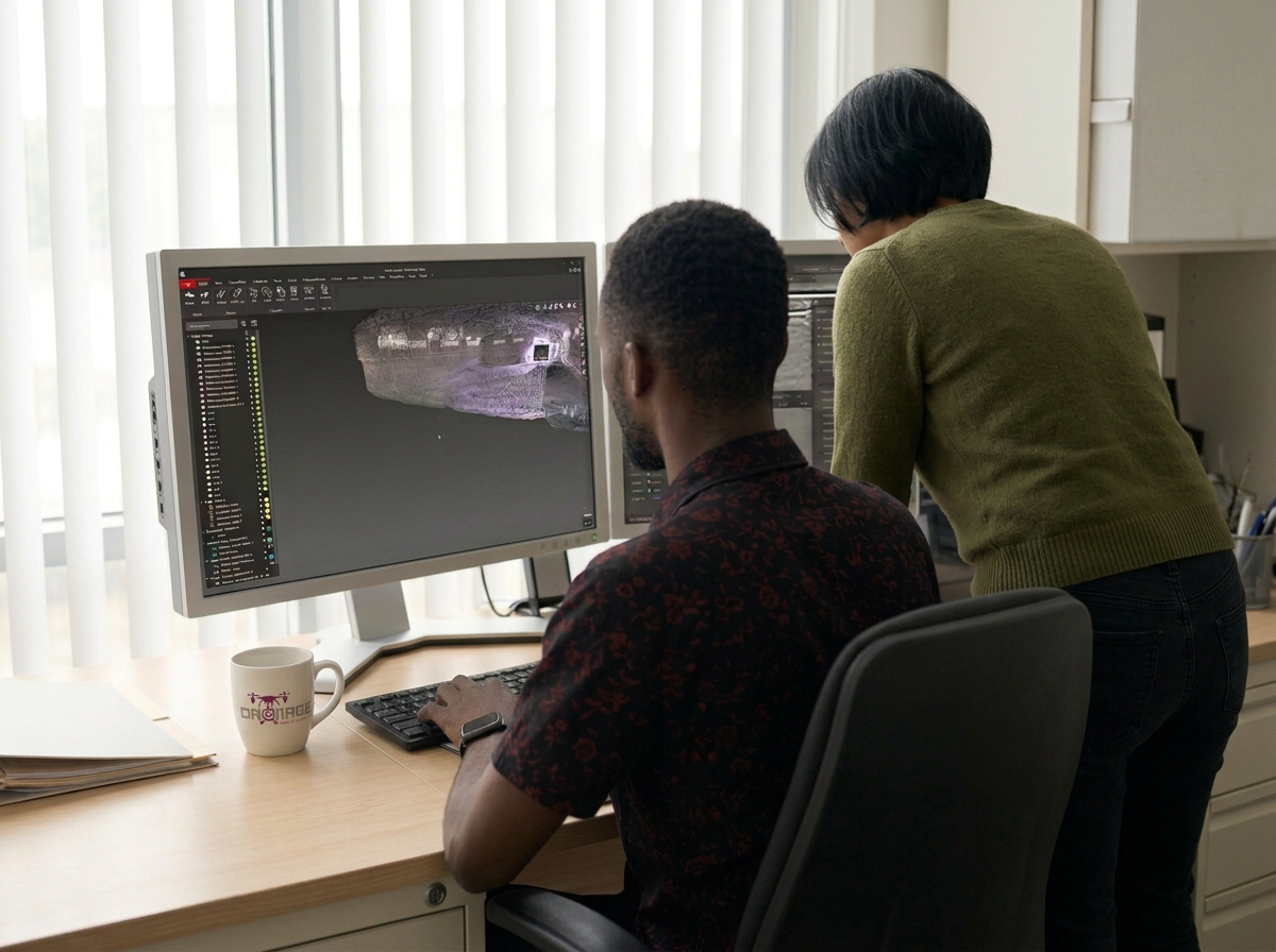
3D Laser Scanning: Rapid, millimeter-accurate reality capture using industry-leading laser scanning systems for complex industrial and architectural environments.
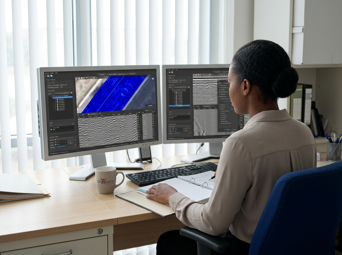
Ground Penetrating Radar (GPR): Non-destructive subsurface imaging and utility mapping, utilizing our multi-channel IDS GeoRadar Stream DP array, to safely detect underground anomalies, utilities, and geological structures.
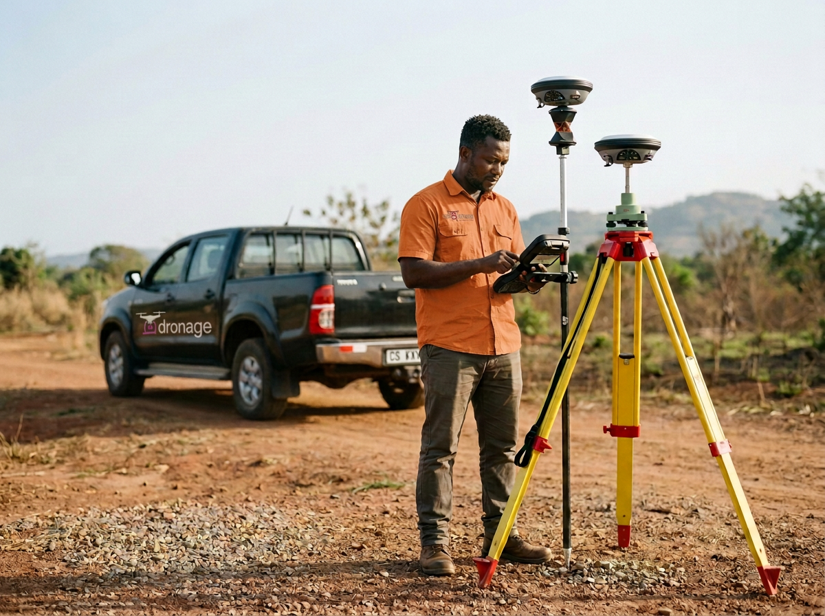
Precision Engineering Measurement: Delivering high-precision spatial data using our Leica GS18 T GNSS RTK rover, essential for structural analysis, volume calculations, and site planning.
Why Choose Us
Uncompromising Accuracy: We utilize industry-leading hardware and software to deliver reliable, decision-grade data every time.
Industry Expertise: Led by seasoned geospatial professionals, our team understands the unique logistical, environmental, and technical demands of West African industries.
Efficiency & Safety: By combining rapid scanning technologies with non-destructive GPR methods, we minimize project downtime and mitigate subsurface risks before they become costly issues.
Contact us
Interested in working together? Fill out some info and we will be in touch shortly. We can’t wait to hear from you!