
Industries We Serve
Dronage delivers engineering-grade survey, scanning and subsurface data across the industries that build and run infrastructure.
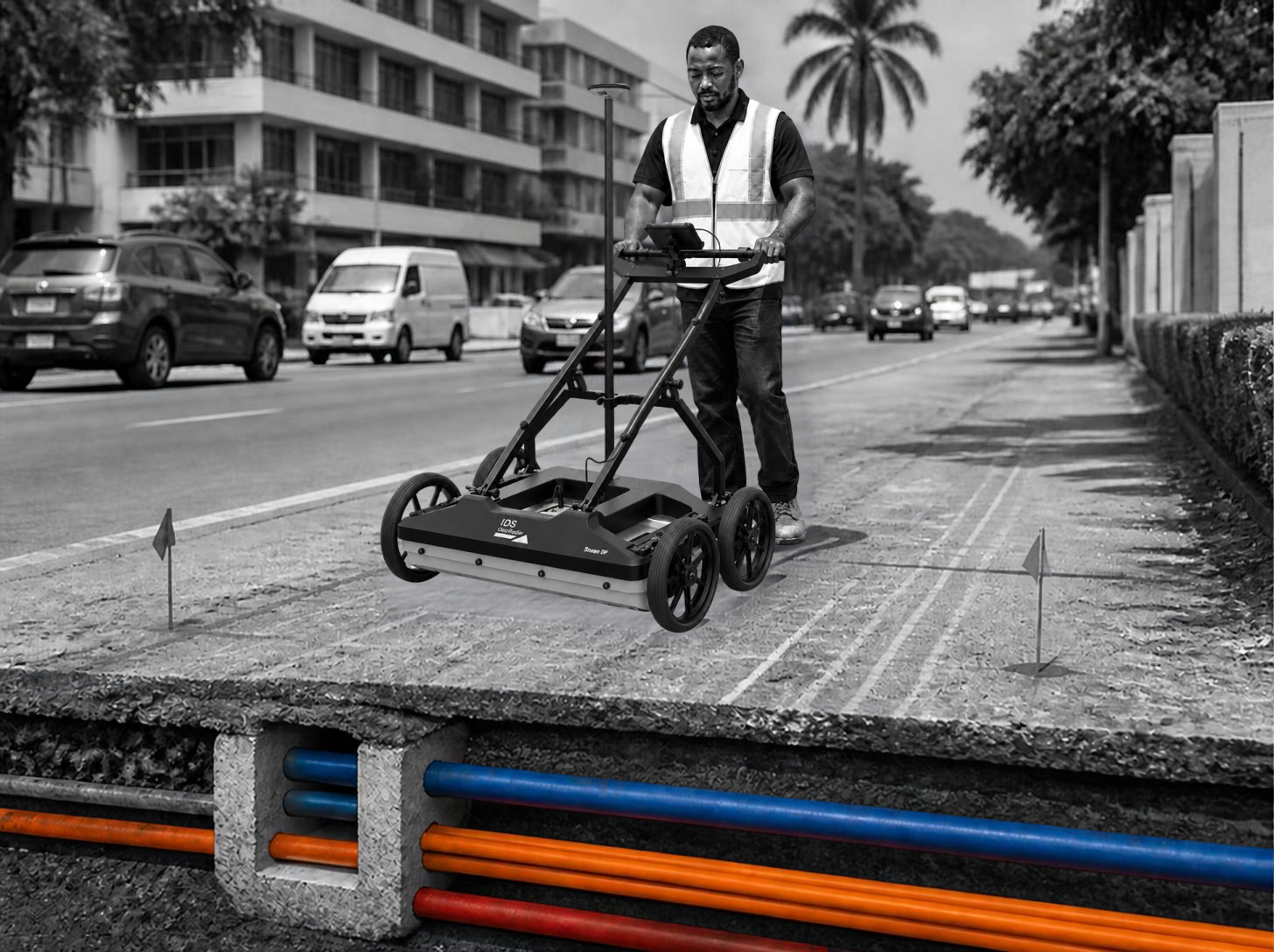
Utilities, Water and Telecom
Our GPR and survey services help utility, water and telecom providers map buried infrastructure safely, avoiding costly strikes during network expansion.
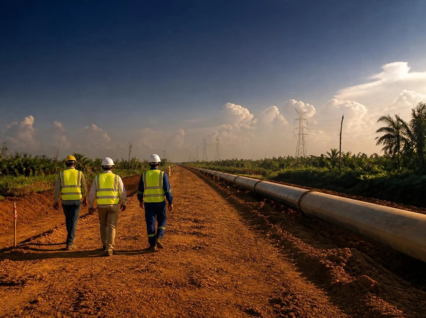
Oil, Gas & Energy
We support pipeline and powerline routing, site surveys and subsurface utility mapping for energy infrastructure projects, reducing excavation risk and keeping projects on schedule.
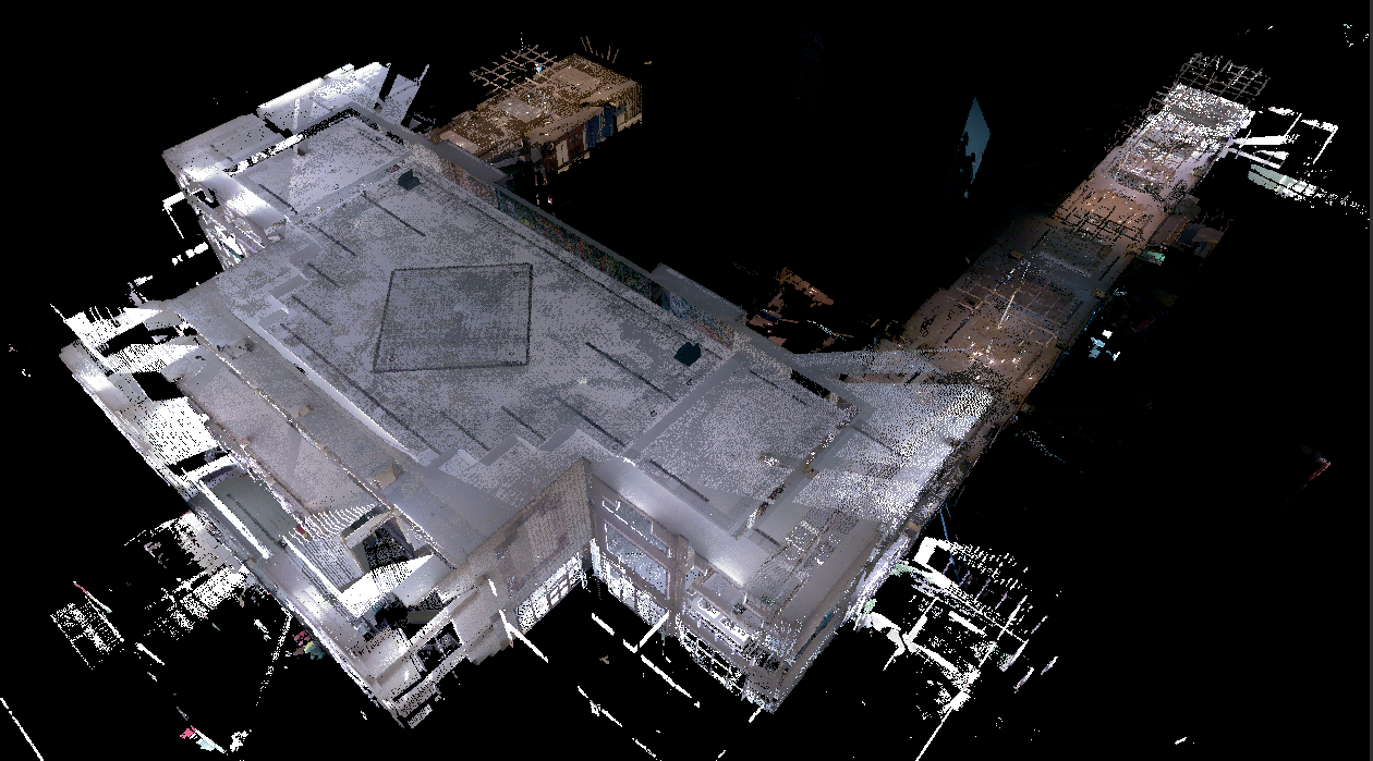
AEC
Precise survey data is crucial for infrastructure development. We provide reliable information that enables informed decision-making and project success from planning to execution.
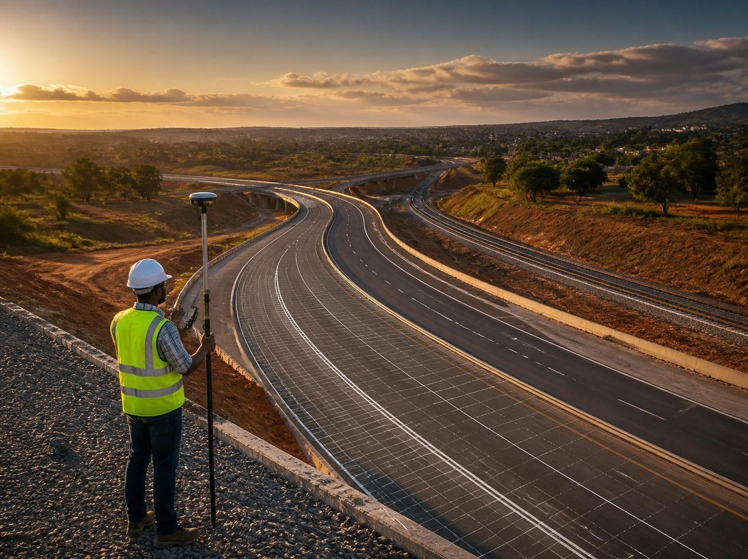
Transportation
We provide accurate and timely data for design and construction of road, rails and airports and support this data with underground utilities surveys.
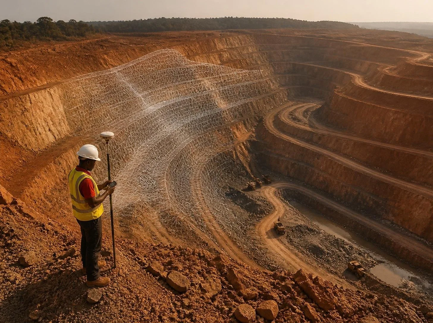
Mining
Survey-grade data is essential for effective resource management in mining and quarrying. Our precision surveys ensure accurate extraction planning, maximizing efficiency while
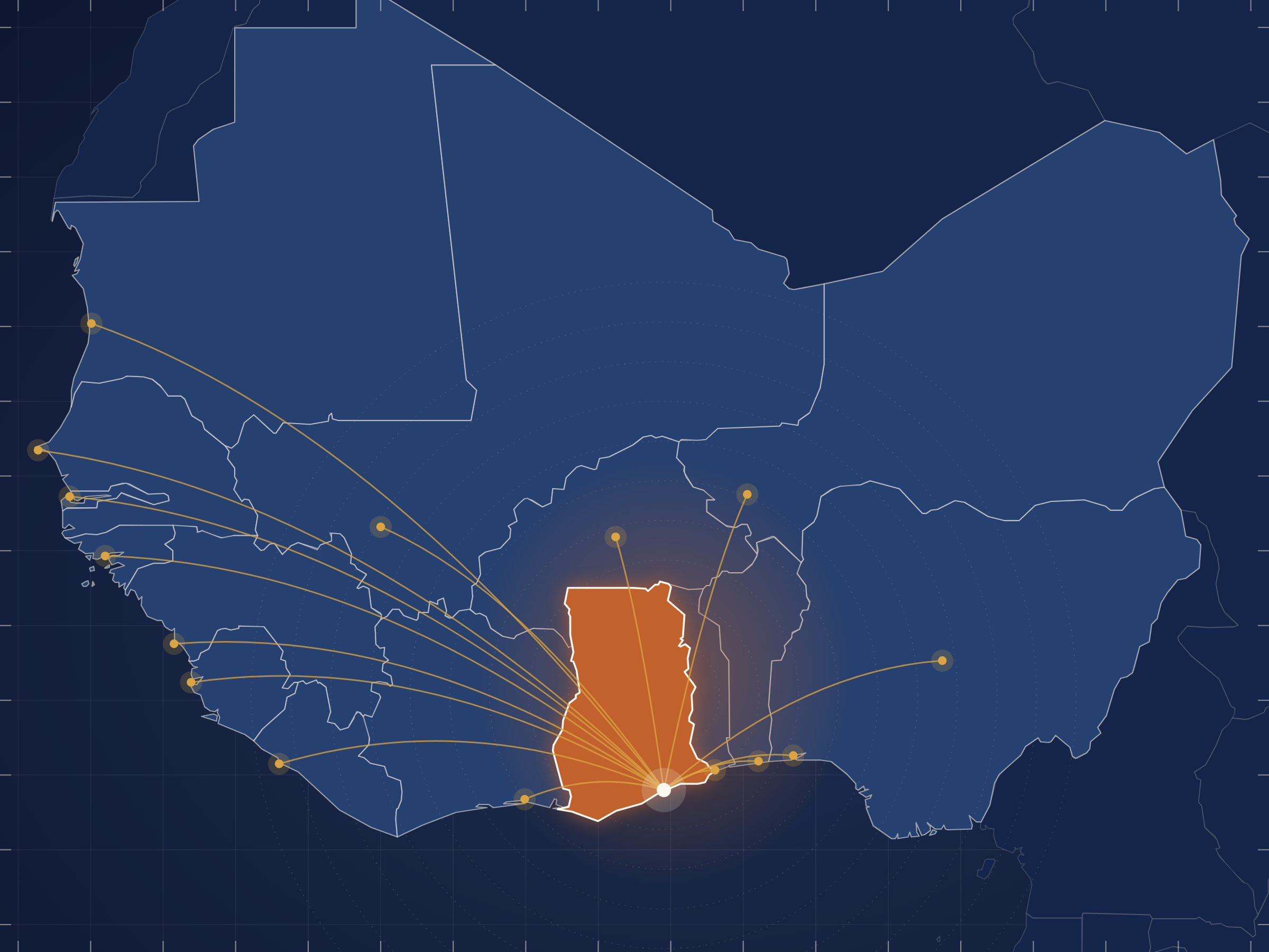
Governments
We provide the data support for security, legal, land administration, conservation etc.